Lake Fork
87Flooded timber and creek channels holding trophy largemouth through the pre-spawn window.
Species: Largemouth bass, crappie, channel catfish
AI bite forecasts · 310 species · US waters
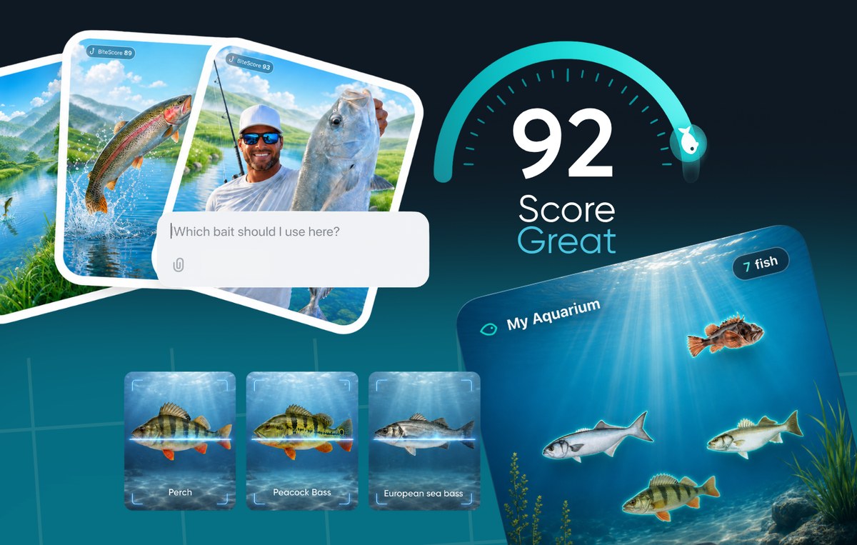
Fishing Club AI combines AI bite forecasts, a million-plus fishing spots, live weather and marine conditions, and species insights — so you know when, where and how to fish before you leave home.


Free to download on iPhone and Android. You can also explore fishing spots and browse the field guide right here.
310
Species guides
1M+
US fishing spots
24/7
Hourly bite forecasts
Live
Weather & marine data
Fishing spots map
Over a million US fishing spots — lakes, rivers, jetties, reefs and inshore flats — mapped in the app with depth contours and the species that hold there. Tap a sample spot below, then open your local water in the app's full map.
Sample spots and sample outlooks shown. The app maps your local water in full detail.
Flooded timber and creek channels holding trophy largemouth through the pre-spawn window.
Species: Largemouth bass, crappie, channel catfish
Rip lines off the point stack bait on the outgoing tide — prime light-tackle water.
Species: Striped bass, bluefish, false albacore
Hydrilla edges and reed lines on the north shore, best worked in the first two hours of light.
Species: Largemouth bass, black crappie, bluegill
Shallow oyster bars and channel edges where stripers push bait against the drop.
Species: Striped bass, redfish, speckled trout
Reefs off the islands turn on as walleye stage in 18–24 ft over hard bottom.
Species: Walleye, yellow perch, smallmouth bass
Ocean-side flats and channel edges — sight-fishing water on a clean incoming tide.
Species: Bonefish, permit, tarpon
The estuary funnels bait past the river mouth — the tide change is the whole game here.
Species: Chinook salmon, coho salmon, sturgeon
Steep granite drop-offs where lake trout hold deep off the ledges through summer.
Species: Lake trout, rainbow trout, kokanee
Saltwater · sample BiteScore 92
Sample outlook: NE 12 kt · outgoing tide 2.1 kt · swell 0.9 m · water 16.8°C.
Features
A bite forecast app, a fishing spots app and a field guide in the same place — reading the same live weather and marine conditions you are fishing in.
An hourly 0–100 BiteScore built from wind, pressure, tide, moon and water temperature at your exact spot — so you fish the window, not the whole day.
1M+ US spots with seabed contours and depth shading — find drop-offs, flats and structure where fish hold, plus bait shops and access points nearby.
Wind, pressure, tide, swell, air and water temperature updated continuously — the fishing conditions that decide your session, read at a glance.
310 species with identification, habitat, seasonality, baits and handling notes — plus photo ID that names your catch from a single snap.
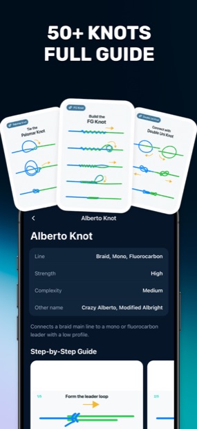
50+ fishing knots with step-by-step animations, plus the rigs and leader setups that match the species and conditions you are fishing.
Shared catches, local reports and club fishing signals — real anglers confirming what the forecast predicted, water by water.
How it works
01
Drop a pin on any lake, river mouth or stretch of coast, or pick a saved fishing spot.
02
Read the hourly BiteScore alongside wind, pressure, tide and water temperature.
03
See what is feeding, then ask the AI assistant for the rig, bait and depth to start with.
04
Log the catch, and the club sees what actually worked on that water this week.
Field guide
Identification, habitat, seasonal movement, proven baits and safe handling — each species guide cross-linked to the conditions where it feeds best.
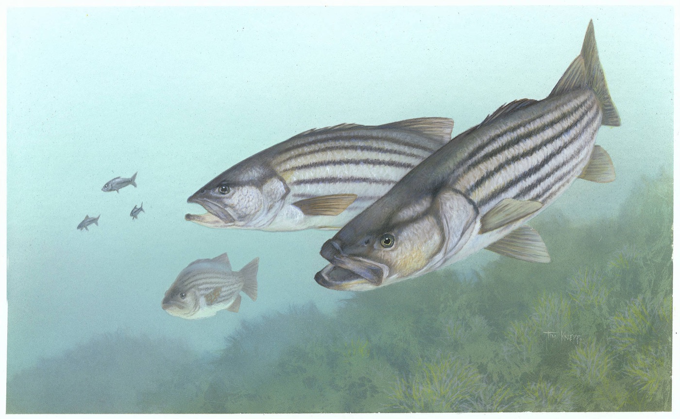
Moronidae
Migratory inshore predator — reads tide and light better than almost anything you fish for.
Species guide →
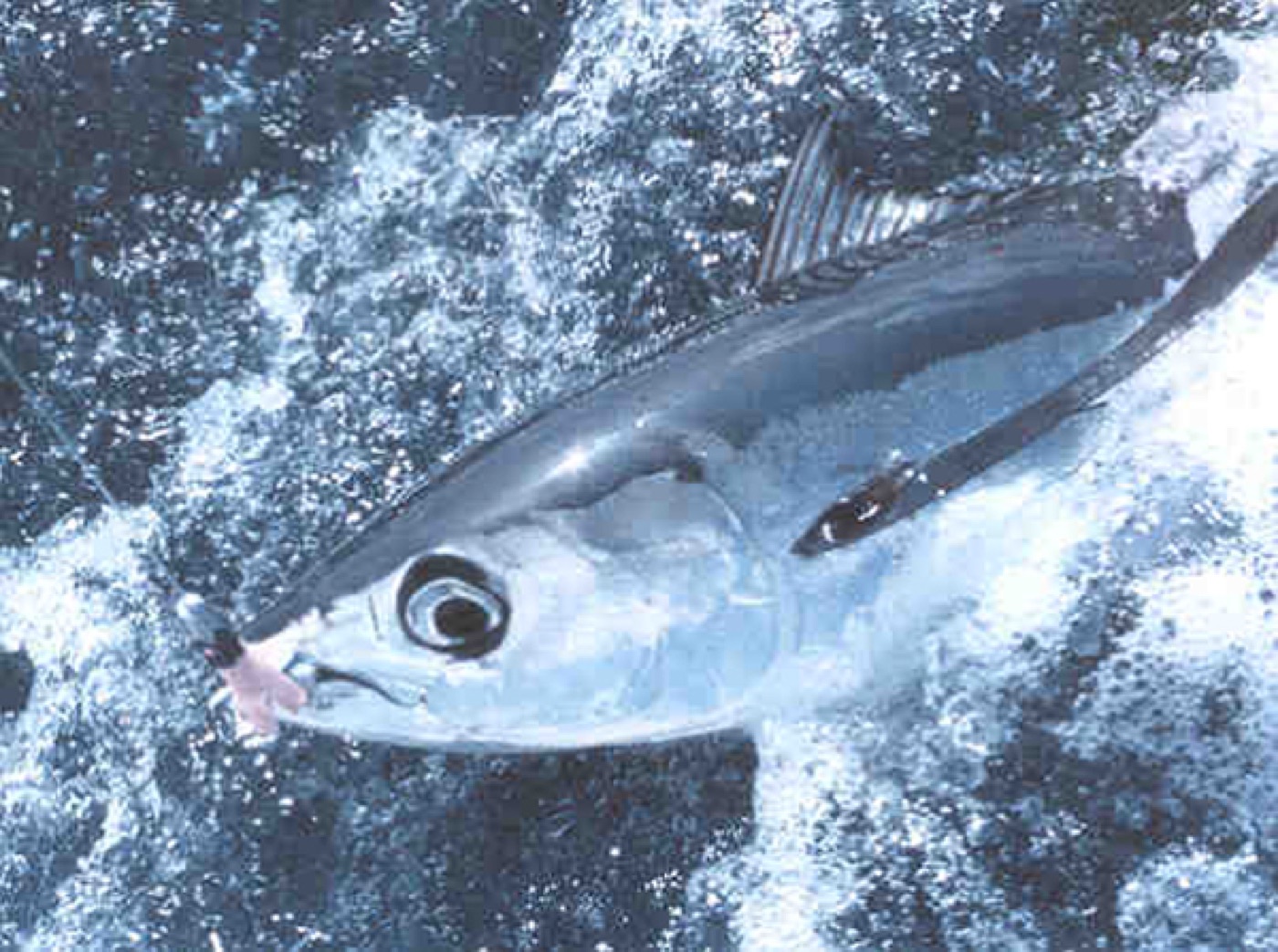
Scombridae
Long-finned bluewater runner that follows temperature breaks far offshore.
Species guide →
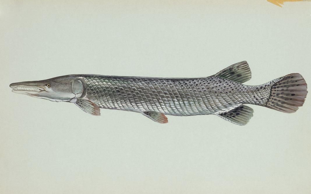
Lepisosteidae
Ancient river giant of southern backwaters — slow water, heavy tackle, patient work.
Species guide →
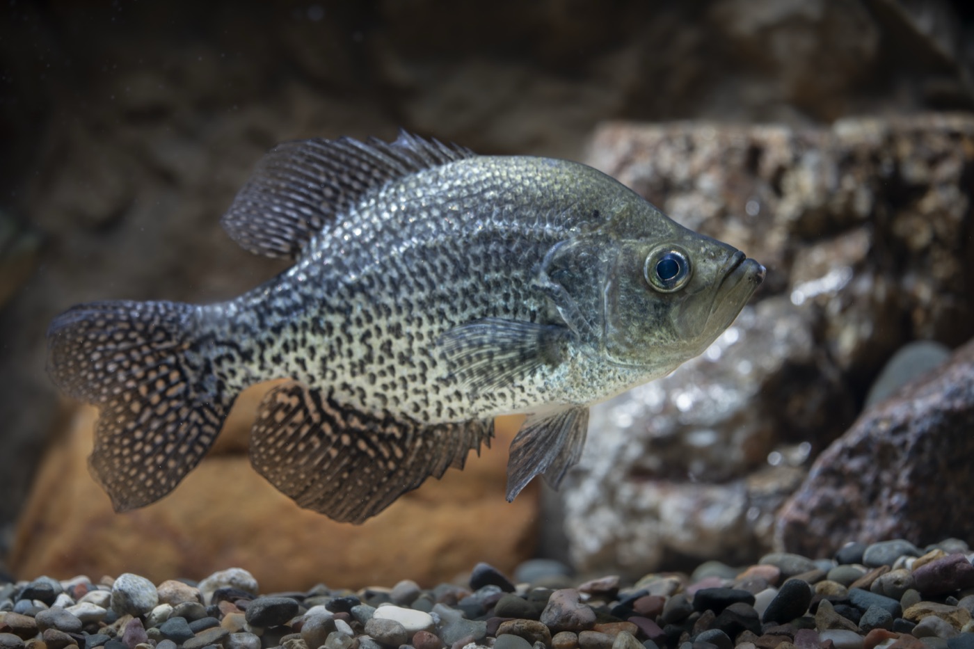
Centrarchidae
Schooling panfish that stacks on brush and structure — find one, find fifty.
Species guide →
Inside the app
Bite forecasts, spot discovery, marine conditions and the species field guide — all in your pocket, all reading the same live data.
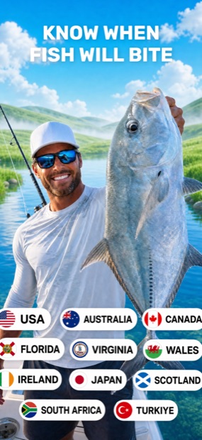
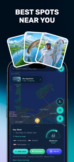
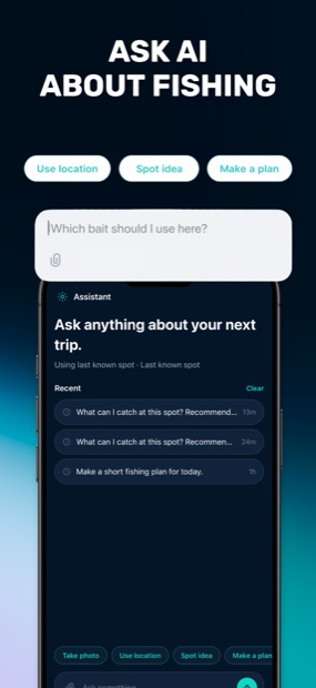
It turns live weather, pressure, tide and moon data into an hourly BiteScore for the exact water you plan to fish — so you plan the session around the feeding window instead of guessing, and arrive knowing which species are most likely to be active.
Yes. The fishing spots map covers more than a million US locations — lakes, rivers, jetties, reefs and inshore flats — with seabed contours, depth shading and nearby bait and tackle shops.
The field guide covers 310 species with identification, habitat, seasonal movement, proven baits and handling notes. Photo ID names your catch from a single snap and links straight to that species guide.
It does — wind, pressure, air and water temperature, tide, swell and moon phase, refreshed continuously for the spot you are viewing, and folded directly into the bite forecast.
The Android app is available now on Google Play, and the iPhone version is on the way to the App Store. Core forecasts, spots and species guides are free to start — and this site’s field guide and fishing guides are free to read on any device today.
Fishing Club AI is out now on Google Play, with the App Store to follow — bite forecasts, fishing spots, marine conditions and 310 species guides, free to start. The field guide and fishing guides are free to read right here too.